






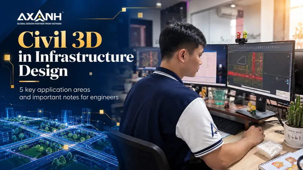
Civil 3D infrastructure design requires more than the ability to build a surface, model a roadway corridor, or lay out a pipe network. An engineer can produce a technically detailed model and still miss the relationships that determine whether a design approach makes sense for the site. The real test is whether the engineer understands the constraints, recognizes the consequences of a change, and can explain the reasoning behind a proposed solution.
That distinction matters to U.S. civil engineering and land development firms evaluating external engineering support. Site planning, grading, roadway geometry, drainage, and utilities are connected decisions. A change in road elevation can alter surface drainage. A revised site layout can affect earthwork, utility crossings, and tie-in conditions. A capable design support team needs to recognize those connections and communicate them before they become difficult to manage.
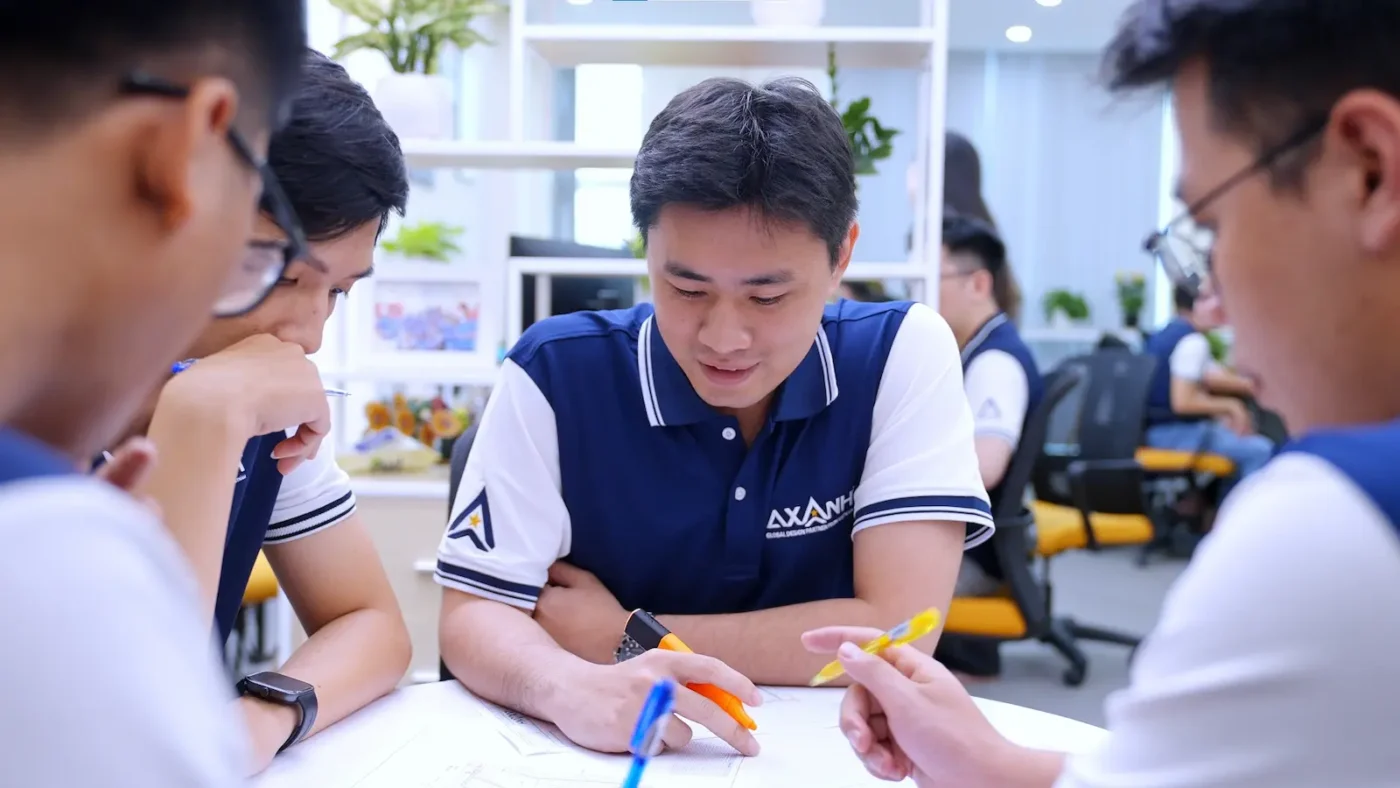
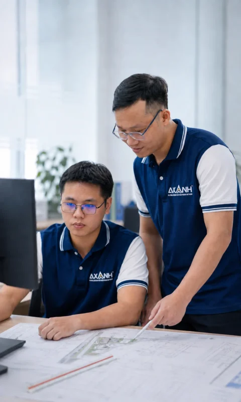
At AXANH, developing Civil 3D infrastructure design capability means strengthening the engineering judgment that sits behind the software. Internal technical simulation exercises give engineers opportunities to work through design problems, evaluate alternatives, discuss trade-offs, and practice presenting their reasoning in a professional consulting environment.
Strong infrastructure design starts with understanding the problem
A complete drawing is not necessarily a well-resolved design. In infrastructure design, the engineer must understand existing topography, site boundaries, access requirements, drainage patterns, and the connections between proposed infrastructure systems. An apparently efficient choice in one discipline may create a complication elsewhere.
Consider a roadway alignment that fits the site plan. Its horizontal geometry may look appropriate, but its profile still needs to be evaluated against existing ground, building pad elevations, drainage flow paths, and utility crossings. Likewise, a grading option that reduces cut and fill may introduce low points or difficult tie-ins. The model helps expose these conditions only when the engineer knows what to examine.
Before advancing a design alternative, the team should be able to answer questions such as:
- Which site conditions and project requirements govern the decision?
- What has been confirmed in the available data, and what remains an assumption?
- How could a change in elevation, alignment, or utility location affect adjacent systems?
- Why is the proposed option preferable, and what still requires technical review?
These questions turn Civil 3D from a modeling environment into a tool for informed engineering discussion. They also make design intent easier for project managers, reviewers, and other disciplines to understand.
Civil 3D infrastructure design: Five systems that must work together
For a land development project, the value of Civil 3D comes from understanding how several technical systems interact. Site planning, grading, corridors, drainage, and utility coordination may be modeled through different objects and workflows, but their design implications cannot be assessed in isolation.
1. Site planning: Testing a layout against real site conditions
In practice, site planning brings together access, circulation, development areas, boundaries, and infrastructure connections. A layout that works in plan view may need revision when site elevations and tie-in conditions are considered. Civil 3D surfaces and alignment objects help engineers evaluate proposed arrangements in their terrain context. The engineering decision still depends on the applicable project requirements and the constraints identified during review.
2. Grading: Connecting proposed elevations with drainage behavior
Grading is another core application of Civil 3D. It involves existing and proposed surfaces, finished elevations, access requirements, and overland flow. Civil 3D can help compare surface options and examine changes in cut and fill. But earthwork balance is only one consideration. A seemingly efficient grading alternative can create low points, drainage conflicts, or difficult roadway connections. Engineers need to test these relationships before recommending a direction.
3. Corridor modeling: Evaluating roadway geometry in context
For roadway work, Civil 3D brings together alignments, profiles, assemblies, and subassemblies to form corridor models. They make roadway geometry easier to examine in three dimensions and in relation to surrounding surfaces. A completed corridor is a starting point for review, not proof that every design issue has been resolved. Profiles, slopes, tie-ins, and the effect on site grading still require engineering attention.
4. Drainage: Understanding where the water will go
In good infrastructure design, drainage should inform site layout and grading rather than appear only after those decisions are made. Engineers need to identify runoff paths, low areas, collection points, and downstream connection conditions. Civil 3D can support surface and pipe-network modeling; confirming drainage performance requires suitable hydrologic and hydraulic assumptions, calculations, and project-specific review.
5. Utility coordination: Looking beyond individual pipe runs
Utility coordination requires looking across systems: water, sanitary sewer, storm drainage, and other utilities interact with roadway geometry, grading, and available corridors. Model-based coordination can help identify potential crossings and elevation conflicts. Clearances, connection requirements, and local utility rules still need to be checked against the requirements that apply to the particular assignment.
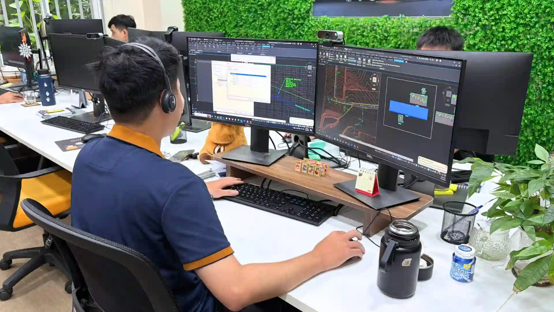
The difference between modeling a solution and defending a design decision
Civil 3D infrastructure design requires proficiency with surfaces, corridors, and pipe networks. Just as important is recognizing when the model does not yet answer the engineering question. A design team has to identify the trade-offs, document the assumptions, and recognize when another discipline or the responsible reviewer needs to be involved.
Imagine two possible roadway profiles. One may simplify access to proposed development pads but change surface flow. Another may reduce grading conflicts while creating new utility coordination concerns. The model can help make these differences visible. Choosing between them requires judgment about site constraints, project priorities, and the checks still outstanding.
For a client, the value of that judgment is practical: a design support team should be able to return more than revised geometry. It should be able to raise a clear question, identify an affected interface, and explain what the next reviewer needs to decide.
How AXANH develops engineering judgment through technical simulations
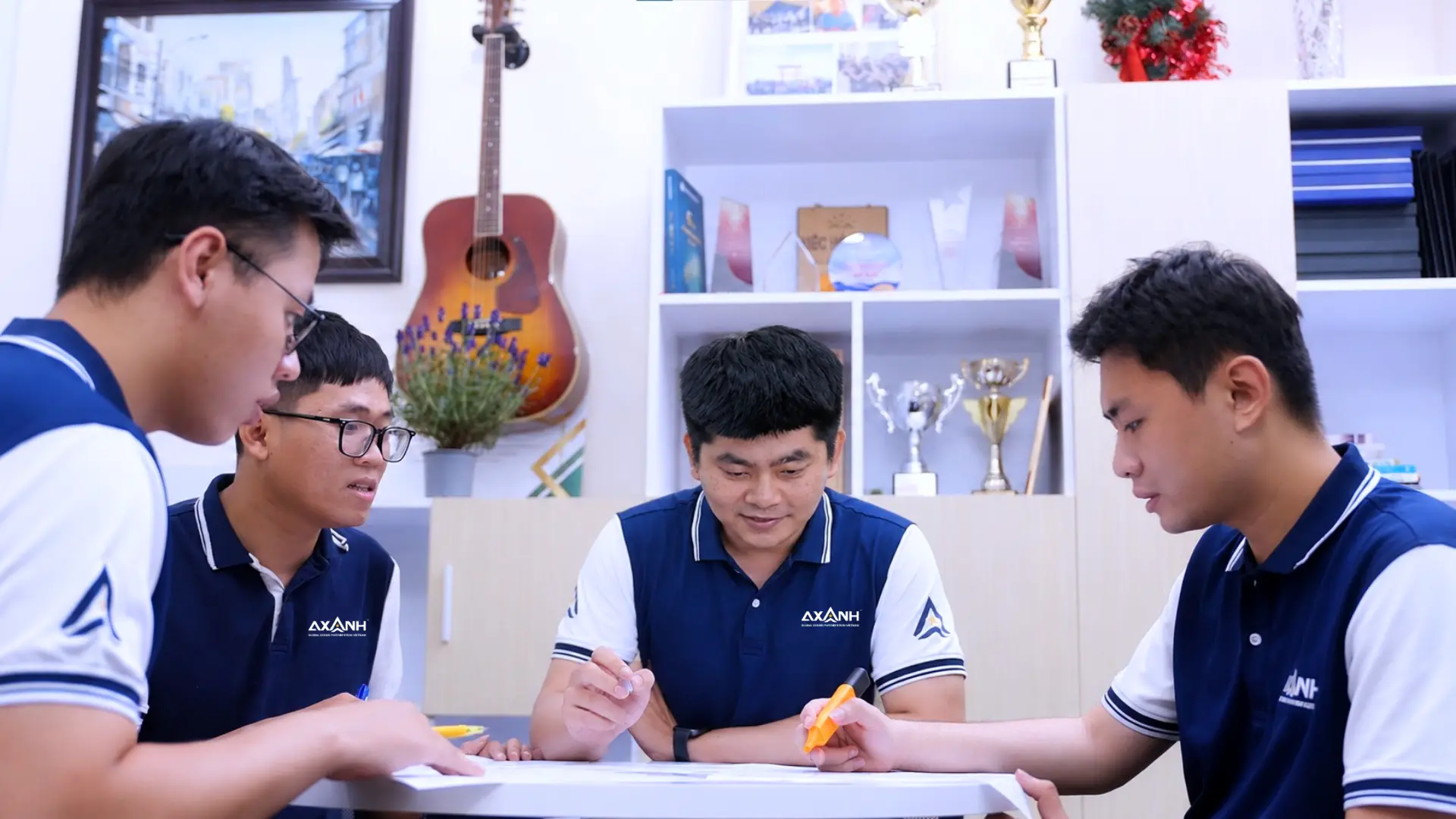
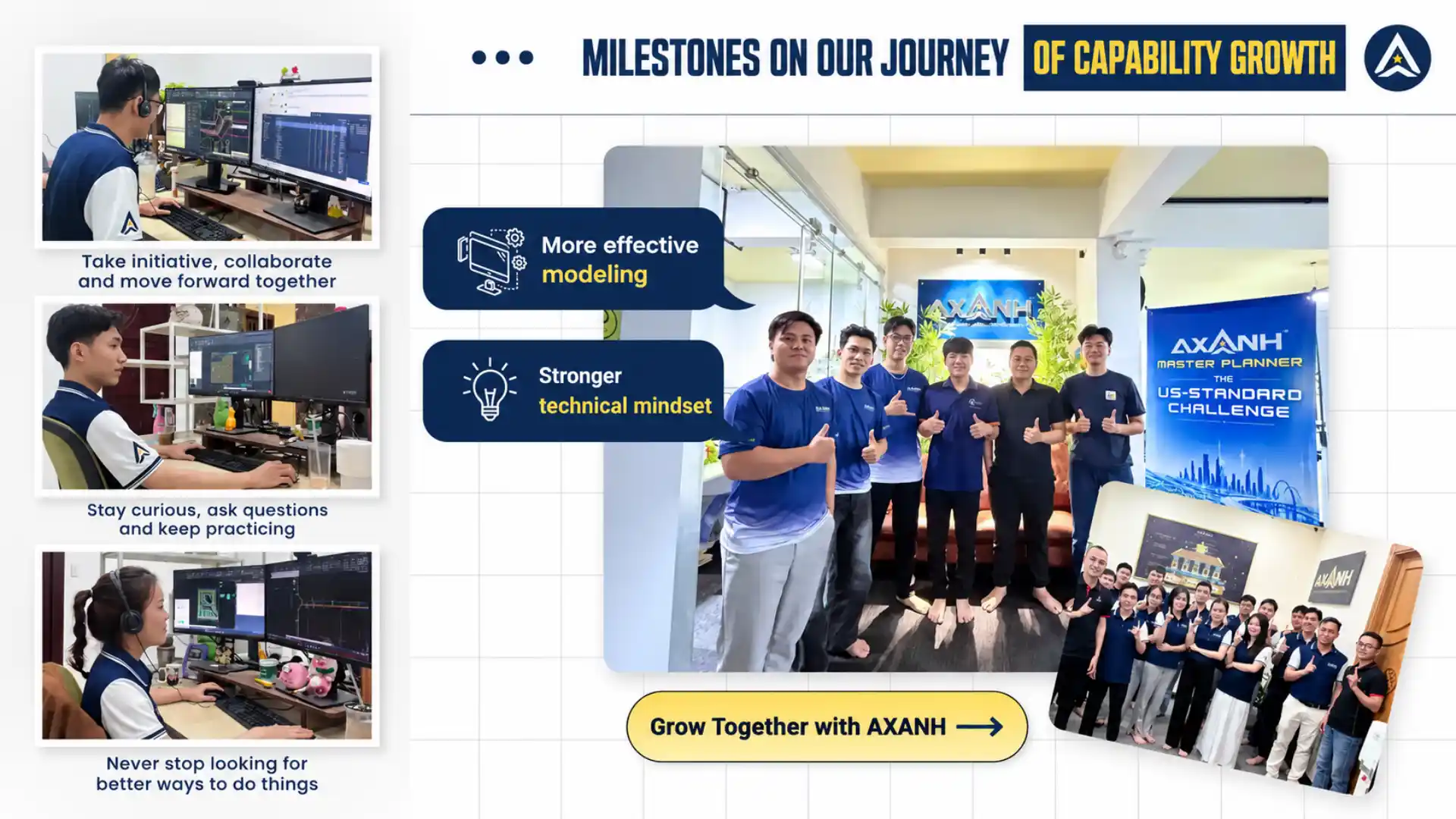
AXANH uses internal technical simulation exercises as one way to strengthen its Civil 3D design team. These exercises provide controlled opportunities to work through hypothetical site and infrastructure design problems, apply Civil 3D, compare approaches, and discuss the reasoning behind proposed solutions.
Recognizing constraints before working toward an answer
Engineers practice distinguishing confirmed inputs from open assumptions and identifying the constraints that deserve attention first. That discipline helps keep modeling focused on the problem the project needs to solve.
Learning from different technical perspectives
Site layout, grading, drainage, and utility coordination each bring a different perspective. Discussing a simulated problem across these areas helps engineers see how a decision in one workstream may affect another. The exercise is also an opportunity to ask better questions and respond constructively to technical feedback.
Presenting alternatives with a consultant’s mindset
Engineers practice explaining what an option addresses, why it was selected for consideration, which trade-offs it introduces, and which issues remain open. This communication skill matters when design work is reviewed by project managers and specialists who need to understand both the proposed geometry and its rationale.
What an AEC firm should look for behind Civil 3D capability
Software proficiency is relatively easy to list. Engineering capability is harder to evaluate because it also depends on how a team handles incomplete information, interconnected decisions, and review. For principals and delivery leaders assessing an external design partner, the questions below offer a more useful starting point than a software inventory alone.
| Area | What to evaluate |
|---|---|
| Site planning | Can the team explain the relationship between layout, terrain, access, and tie-in constraints? |
| Grading | Can it identify potential drainage consequences and problematic low points in a proposed surface? |
| Corridors | Does it understand how alignments and profiles affect surrounding site grades and interfaces? |
| Drainage | Are flow paths, assumptions, and matters requiring hydrologic or hydraulic verification made explicit? |
| Utilities | Are potential crossings, elevation conflicts, and coordination questions raised for review? |
| Communication | Can the team explain decisions and unresolved issues in a form the client’s reviewers can act on? |
Use it to open the conversation; the review plan for each engagement sets the detail. For AXANH’s approach to scope, coordination, and review, see How We Work.
Why capability development matters to international project delivery
U.S. AEC firms often need design capacity that can operate within established standards and review processes. Adding people who know the software may increase available production hours; it does not automatically make coordination easier. Teams also need the judgment to recognize a design conflict, communicate an assumption, and carry context from one handoff to the next.
AXANH’s investment in internal technical learning is intended to strengthen those underlying skills across Civil 3D assignments. The goal is a team that can contribute to connected civil engineering and land development work while respecting client direction, project-specific standards, and agreed review responsibilities.
Capability is built over time through engineering practice, feedback, and disciplined review. The AXANH Engineering Center of Excellence provides broader context for how the company approaches continuing professional development and technical knowledge.
From Civil 3D skills to a more dependable design partnership
For a potential engineering partner, Civil 3D infrastructure design capability is not simply a question of whether the team knows the software. It is whether the team can understand the assignment, work through the interfaces, and communicate the thinking behind its work. That is the direction AXANH continues to pursue in developing its engineers.
Explore AXANH’s engineering capabilities to understand the disciplines we support, or discuss a specific civil engineering or land development need with our team. If you need Civil 3D design support as ongoing capacity, see how we run outsourced civil engineering packages.
Explore AXANH’s Civil Engineering Capabilities
Looking for an engineering team that understands the connection between design models, technical decisions, and coordinated delivery? Share your scope, standards, and collaboration requirements so we can discuss whether AXANH is a suitable fit.
Technical reference: Autodesk Civil 3D product details describes relevant modeling and infrastructure design features.
